The ONLY way to merge real-time
satellite imagery with internet of things data.
Everything. Everywhere. Now.
At Space Aye, we are revolutionising how we all interact with the world and understand our surroundings via real-time satellite imagery. Space Aye is the only way to identify assets and people (via IoT data), in real-time from space.
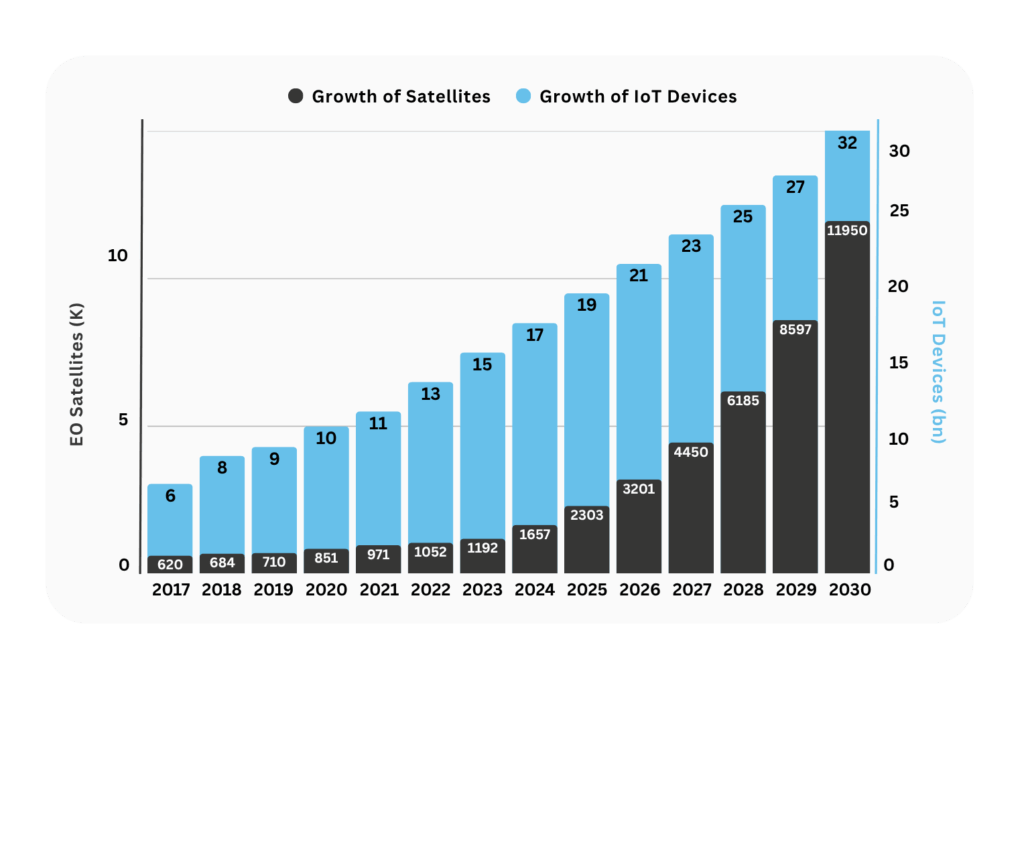
Our intercontinental patents combine two exponentially growing capabilities:
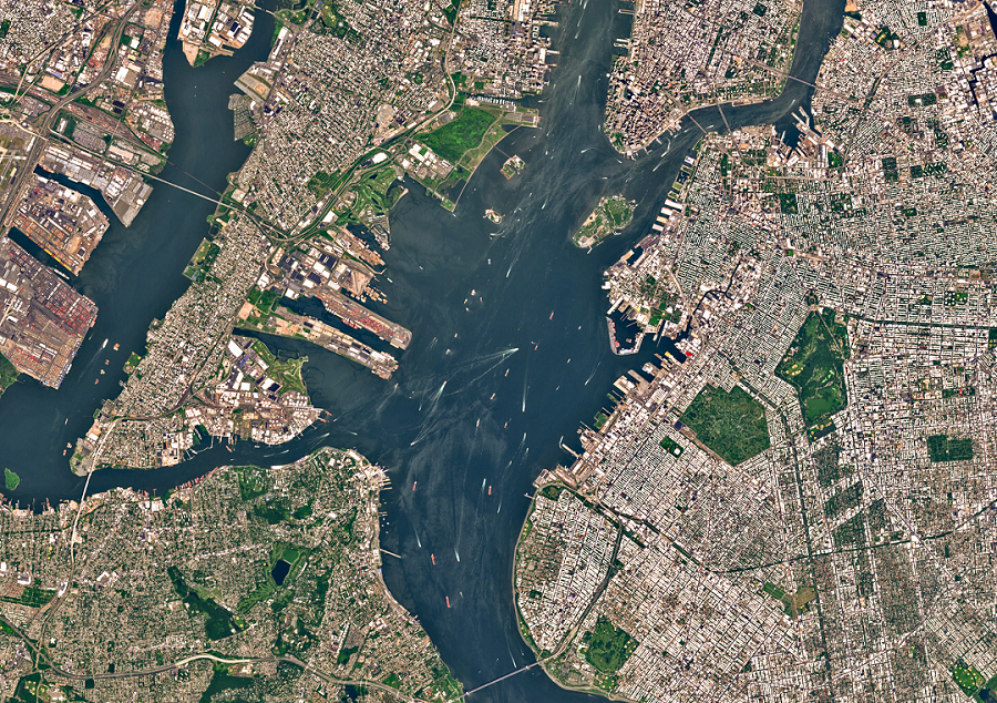
Real-Time Earth Observation + billions of IoT devices globally.
We make real-time satellite imagery more accessible and actionable, paving the way for mass-market adoption and accelerating the commercialisation of space.
“The most exciting thing I have seen for the last 10 years”
Ed Parsons, Geospatial Technologist & Formerly Google’s Geospatial Technologist
Through simplified ordering of real-time satellite imagery, a universal image format, and seamless IoT data integration, we will provide a unique solution with actionable insights which will transform multiple industry sectors.
Our unique capability makes real-time satellite imagery personal – merging ‘Internet of Things’ data, including location, biometrics and imagery, creating a global view of your world, assets, or people.
Enabling smarter, faster decisions that can save time, money and lives.
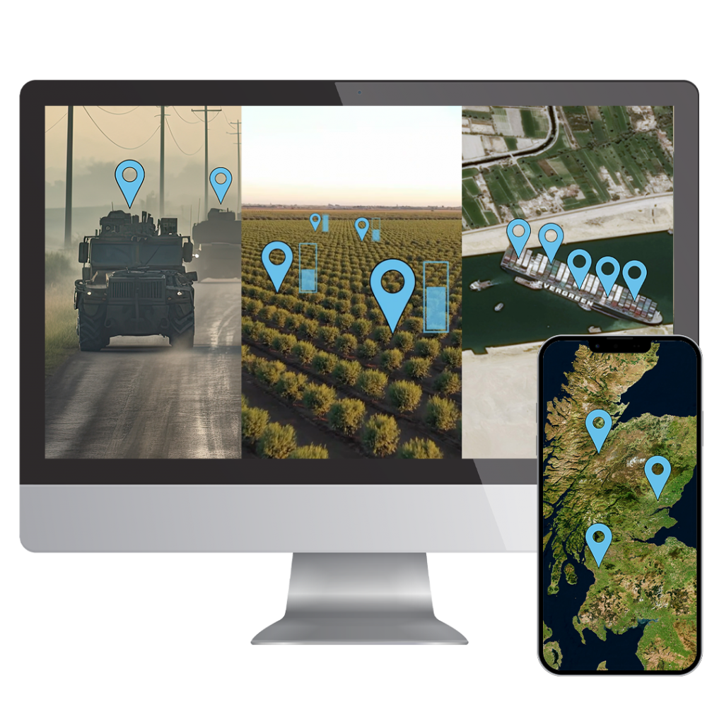
With Space Aye, you can see everything, everywhere, now!

Watch our short video to find out more:
Our Products & Services
Our mission is to create products & services which combines real-time satellite imagery with Internet of Things data to create more opportunities for better informed decision making.
Spelfie is the first app of its kind and the next generation of digital marketing. Spelfie uses real-time satellite imagery to capture events and attendees from space. Utilising our patent to pin the attendees location on the satellite image for the ultimate digital souvenir!

Space2Site utilises the merging of real-time satellite imagery with user generated location information to provide visual proof and valuable data on employee check-in information. The captured satellite image can also be used to track project progress on remote sites.
Our unique platform will make real-time satellite imagery more personalised, contextualised and actionable using our patent.
Space Aye is a new platform which will touch every sector!

proud Member Of
News & Information
Seatrade Maritime News
USA Today
Founders Story
Digital Journal
Tech Bullion
Sirotin Intelligence
GritDaily.com
Aerospace & Defense Review
Computing
The National