Our products
Using our patent, our mission is to create new products and services which will make real-time satellite imagery merged with user generated content more accessible and useful to humankind.


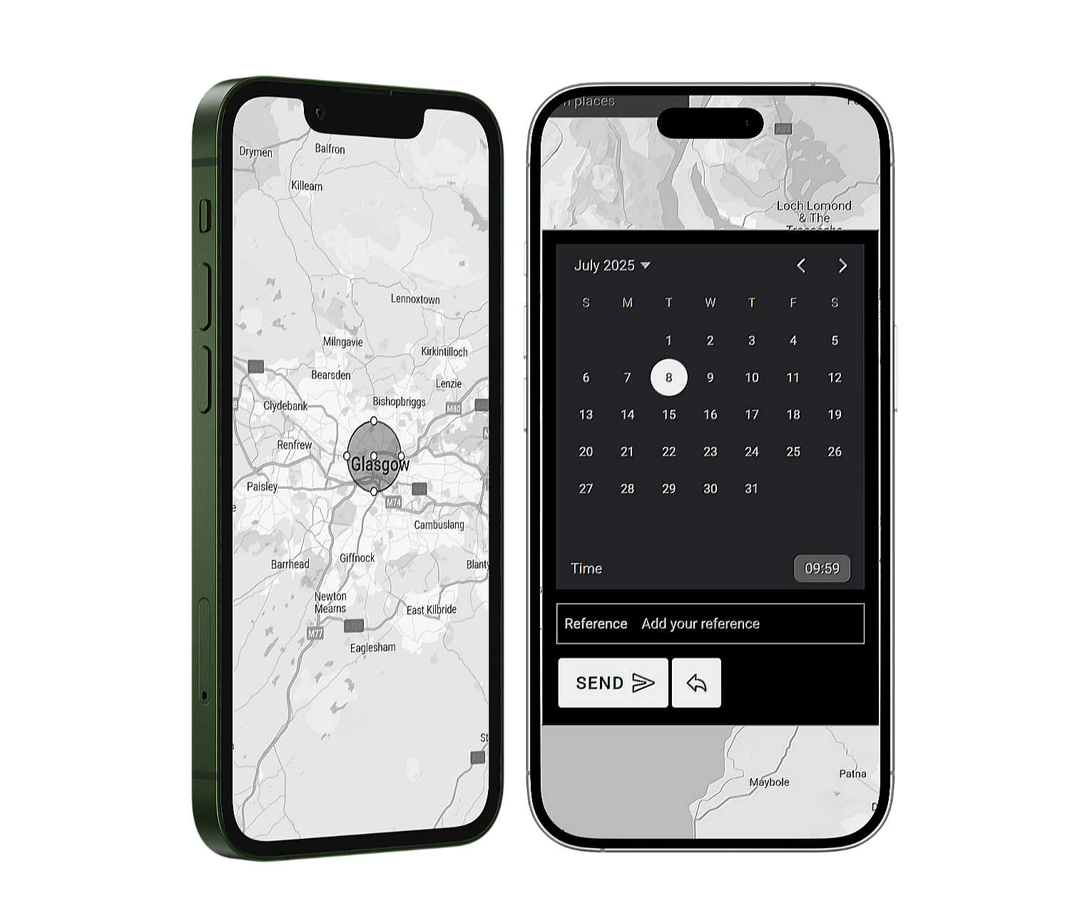
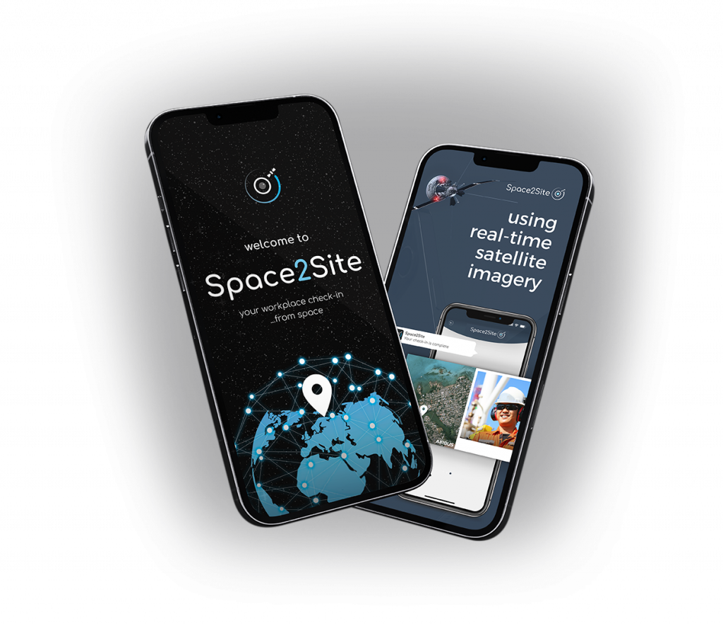
Space2Site utilises the merging of real-time satellite imagery with Internet of Things (IoT) data to provide visual proof and valuable data on employee check-in information.
The captured satellite image can also be used to track project progress on remote sites.
Listed on the UK Energy Technology Platform.

Spelfie is the first app of its kind and the next generation of digital marketing. Spelfie uses real-time satellite imagery to capture events and attendees from space. Utilising our patent to pin the attendee’s location and selfie image on the satellite image for the ultimate digital souvenir!
Spelfie has worked with many large companies and organisations such as the BBC and Rice University.
A Large Terrestrial Model (LTM) is a comprehensive data source of all terrestrial features, activity, status and behaviours. It includes all sea and terrain viewed through all spectra, the built environment and its associated digital performance characteristics, and all viewable living entities and their associated correlated meta data (sourced through IoT).
The LTM is the base data source from which HPC/quantum processing can perform a wide range of analytical tasks that can derive patterns and predictability, and contextualise the Earth and all its activity.
The LTM is the origin data set from which a global live digital twin can be created.